
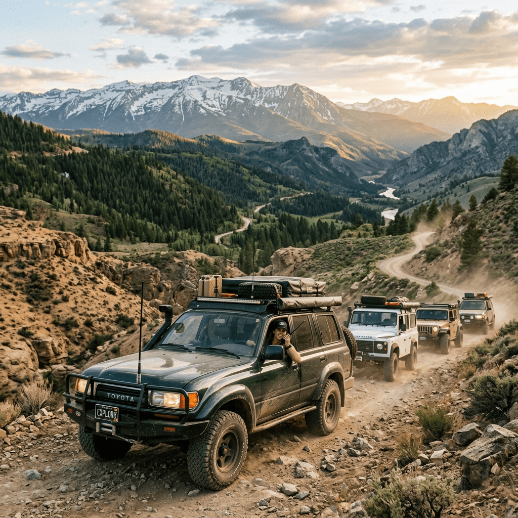
Planning an overlanding trip is an exciting endeavor that combines adventure, exploration, and the thrill of the unknown. To ensure a successful journey, meticulous planning is essential, especially when it comes to navigation. Utilizing a combination of modern mapping apps like CalTopo, GPS waypoints and devices, and a compass can provide a comprehensive approach to route planning and navigation.
CalTopo Physical/Printed Maps
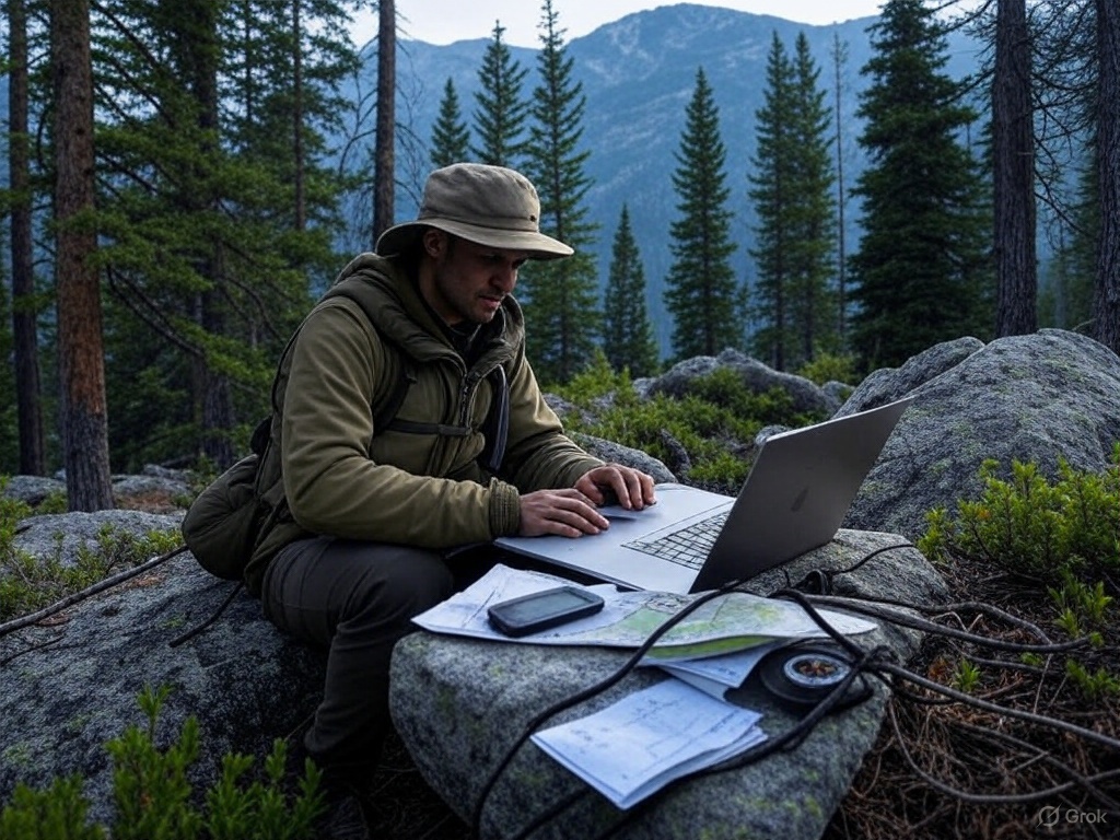
In the realm of overland trip planning, CalTopo emerges as a formidable alternative to traditional paper maps, offering a suite of digital tools that enhance the precision and flexibility of route planning. This powerful mapping application provides a range of features that cater to the needs of modern adventurers, allowing for a more dynamic and detailed approach to navigation. Using this application is my preferred way to plan routes for extended trips…
Custom Map Creation and Layering
CalTopo’s ability to create custom maps is one of its most compelling features. Users can tailor maps to their specific needs by incorporating various layers, such as topographic details, satellite imagery, and land management boundaries. This customization is invaluable for overlanders, as it allows them to visualize the terrain in multiple dimensions and contexts. The inclusion of topographic details helps in understanding elevation changes and identifying potential obstacles, while satellite imagery provides a real-world view of the landscape. Land management boundaries are crucial for ensuring compliance with regulations and identifying permissible areas for travel and camping.
Route Plotting and Elevation Profiles
With CalTopo, travelers can plot their intended routes with precision, taking into account elevation profiles and potential obstacles. The application allows users to draw paths directly on the map, providing immediate feedback on distance, elevation gain, and estimated travel time. This feature is particularly useful for assessing the feasibility of routes and making informed decisions about the best paths to take. By analyzing elevation profiles, travelers can anticipate challenging sections of the journey and plan accordingly, ensuring a smoother and more enjoyable experience.
Overlaying Map Types and Identifying Alternate Routes
CalTopo’s ability to overlay different map types is a significant advantage for overlanders. By combining various layers, users can gain a comprehensive understanding of the terrain and identify alternate routes if needed. This flexibility is crucial in overlanding, where conditions can change rapidly, and adaptability is key. The ability to switch between map types, such as topographic, satellite, and road maps, allows travelers to assess the best paths and make real-time adjustments to their plans.
Exporting Maps and Waypoints
Once the route is planned, CalTopo allows for the export of maps and waypoints, which can be printed or uploaded to GPS devices. This functionality ensures that travelers have access to their custom maps in both digital and physical formats, providing redundancy and reliability. Exporting waypoints to GPS devices enables real-time navigation, while printed maps serve as a tangible backup that can be used in conjunction with commercial maps.
Printing CalTopo Maps at Fixed Scales
After planning the trip, printing CalTopo maps at fixed, usable scales is a strategic step that supports the use of purchased commercial maps. By selecting specific scales, travelers can ensure that the printed maps provide the right level of detail for navigation. These custom maps can highlight areas of interest, detailed topography, and specific routes that may not be as clearly defined on commercial maps. Printing maps from CalTopo allows for the inclusion of personalized notes and waypoints, offering a tailored navigation aid that complements the broader overview provided by commercial maps. This combination ensures that travelers have both detailed and comprehensive resources at their disposal, enhancing their ability to navigate effectively throughout the journey.
CalTopo offers a robust alternative to traditional paper maps, providing a digital platform that enhances the planning and execution of overlanding trips. Its features enable travelers to create detailed, customized maps that cater to their specific needs, ensuring a well-prepared and adaptable approach to navigation. By integrating CalTopo with traditional navigation tools, overlanders can enjoy a seamless and enriched exploration experience.
Creating GPS Waypoints
In the intricate process of overlanding trip planning, creating GPS waypoints is a crucial step that bridges the gap between planning and execution. These digital markers serve as essential navigational aids, guiding travelers along their chosen path with precision and reliability. By denoting key locations, waypoints enhance the efficiency and safety of the journey, ensuring that travelers remain on course and are well-prepared for the challenges ahead.
Defining Key Locations
GPS waypoints are used to mark important locations along the route, such as trailheads, water sources, campsites, and scenic viewpoints. Each waypoint acts as a digital signpost, providing travelers with critical information about their surroundings and helping them make informed decisions. By identifying these key locations in advance, travelers can plan their itinerary more effectively, ensuring that they have access to necessary resources and can take advantage of opportunities for rest and exploration.
Using GPS Software and Devices
Creating waypoints involves using GPS software or devices to input the coordinates of these key locations. This process can be done manually by entering latitude and longitude coordinates, or by importing data directly from mapping applications like CalTopo. Many GPS devices and apps offer user-friendly interfaces that simplify the process of creating and managing waypoints, allowing travelers to focus on the journey itself rather than the technicalities of navigation.
Importing Data from CalTopo
Utilizing CalTopo, importing waypoint data is a seamless process. These applications allow users to export their planned routes and waypoints in formats compatible with most GPS devices. By transferring this data to their GPS units, travelers can ensure that their digital navigation tools are aligned with their pre-trip planning, providing a cohesive and integrated approach to navigation.
Naming and Organizing Waypoints
To maximize the utility of GPS waypoints, it is essential to name them clearly and organize them logically. Descriptive names that reflect the nature of the location—such as “Trailhead Start,” “Water Source 1,” or “Campsite A”—help travelers quickly identify each waypoint’s purpose. Organizing waypoints in a logical sequence that mirrors the planned route ensures that travelers can easily follow their intended path without confusion. This organization is particularly important in complex terrains where multiple waypoints may be clustered closely together.
Benefits of Well-Planned Waypoints
Having a well-planned set of waypoints allows for efficient navigation and helps in maintaining the intended route. Waypoints provide a structured framework for the journey, enabling travelers to track their progress and make real-time adjustments as needed. In situations where visibility is limited or landmarks are scarce, waypoints offer a reliable reference point that can prevent disorientation and ensure that travelers remain on track.
Creating GPS waypoints is a vital component of overlanding trip planning, offering a digital complement to traditional navigation methods. By marking key locations and organizing them effectively, travelers can enhance their ability to navigate with confidence and precision. This meticulous approach to waypoint creation ensures that overlanders are well-equipped to tackle the challenges of their journey, allowing them to focus on the adventure and discovery that lie ahead.
En-Route Navigation
During the trip, the combination of paper maps, CalTopo and GPS waypoints provides a robust navigation system. Paper maps offer a broad perspective, while GPS devices provide real-time location data. CalTopo maps, if downloaded for offline use, can be accessed on smartphones or tablets to offer detailed insights.
In addition to these tools, a compass is an essential instrument for en-route navigation. It serves as a reliable backup when electronic devices fail or when precise orientation is required. A compass can help travelers determine their direction relative to the map, ensuring they stay on course. By aligning the compass with the map, travelers can verify their heading and make necessary adjustments. This skill is particularly useful in dense forests or mountainous regions where landmarks may be obscured. Regularly using a compass in conjunction with paper maps enhances situational awareness and ensures that travelers maintain their intended path, even in challenging conditions.
Travelers should regularly cross-reference their GPS location with paper maps to ensure accuracy and to adapt to any unforeseen changes in the terrain or route. This multi-layered approach to navigation ensures that travelers are well-prepared to handle any challenges that arise.
Conclusion
Embarking on an overlanding trip is an exhilarating venture that promises adventure, exploration, and the thrill of the unknown. To ensure a successful journey, a comprehensive navigation strategy that combines traditional and modern techniques is essential. By integrating CalTopo-generated paper maps, and GPS waypoints, travelers can create a robust framework that enhances both safety and enjoyment.
The Synergy of Traditional and Modern Tools
Using digital tools like CalTopo to create “traditional paper maps” represents a synergy of traditional and modern navigation methods. Paper maps provide a reliable, tactile resource that offers a broad overview of the terrain, invaluable in areas where digital devices may falter. Using CalTopo to create these detailed, customizable maps that allow for precise route planning and real-time adaptability is an invaluable tool for the modern traveler. Together, these tools ensure that travelers are well-prepared for any situation, providing both a macro and micro perspective of the journey.
The Role of GPS Waypoints
GPS waypoints serve as the digital backbone of the navigation strategy, offering precise markers that guide travelers along their chosen path. By marking key locations and organizing them logically, waypoints provide a structured framework that enhances navigation efficiency. This digital precision complements the broader insights provided by CalTopo-created paper maps, ensuring that travelers can navigate with confidence and accuracy.
Meticulous Planning and Contingency Preparation
Meticulous planning is the cornerstone of a successful overlanding trip. By carefully plotting routes, identifying potential obstacles, and preparing for contingencies, travelers can mitigate risks and enhance their ability to adapt to changing conditions. This preparation involves not only selecting the right tools but also understanding how to use them effectively. By anticipating challenges and planning for alternatives, travelers can focus on the journey itself, rather than being caught off guard by unforeseen circumstances.
The Balance of Preparation and Spontaneity
While thorough preparation is essential, overlanding also thrives on spontaneity and the spirit of exploration. The blend of preparation and spontaneity is what makes overlanding a truly rewarding experience. By having a solid navigation plan in place, travelers can confidently explore new paths, discover hidden gems, and embrace the unexpected. This balance allows for a dynamic journey where the thrill of discovery is matched by the assurance of safety and preparedness.
A Rewarding Experience
Ultimately, planning an overlanding trip using CalTopo-created paper maps and GPS waypoints creates a comprehensive strategy that enhances the overall experience. Each tool plays a crucial role in ensuring a safe and enjoyable journey, allowing travelers to immerse themselves in the adventure and exploration that overlanding promises. This thoughtful approach to navigation not only enriches the journey but also fosters a deeper connection with the landscapes and cultures encountered along the way. By embracing both the preparation and spontaneity inherent in overlanding, travelers can embark on a journey that is as rewarding as it is unforgettable.


Leave a Reply